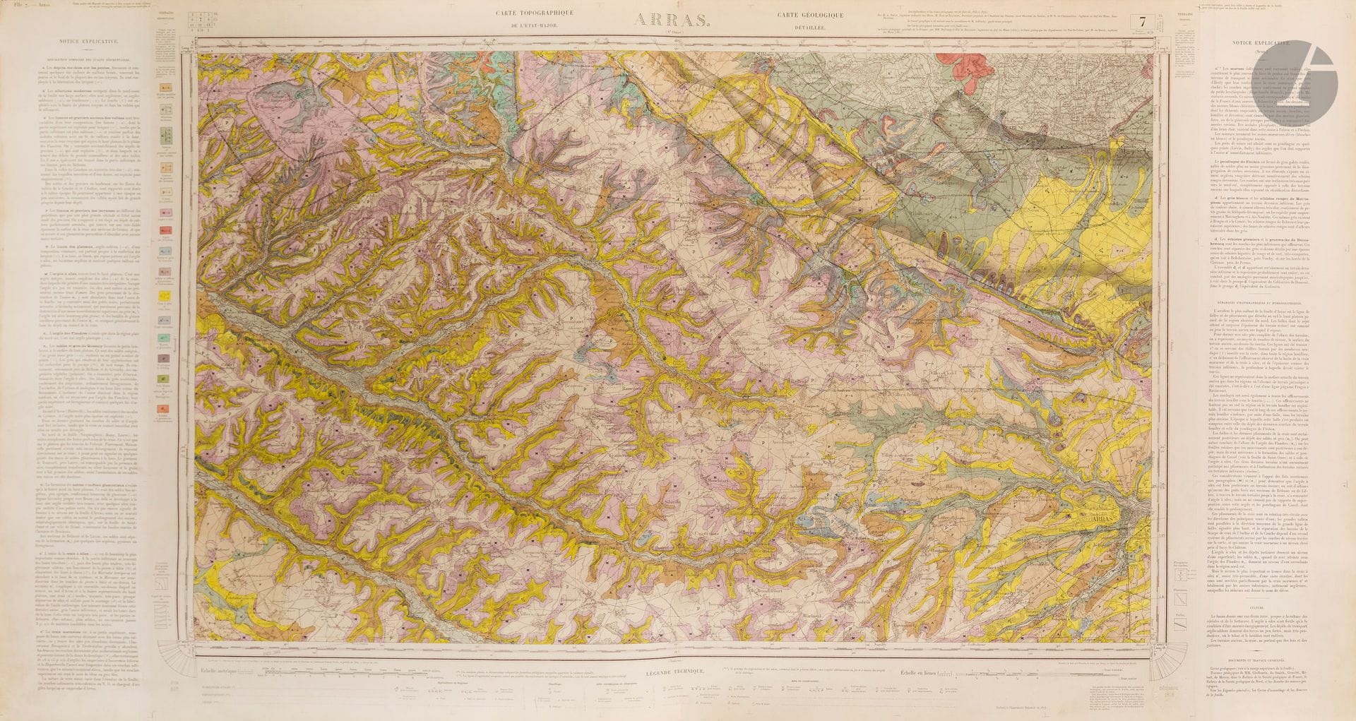
MINISTRY OF PUBLIC WORKS. Geological map of France (Atlas). Paris, Imprimerie Nationale, 1873. Lithographed in color. Three large oblong volumes, publisher's boards, gilt title on boards. Chromolithographed canvas maps. Boards detached, spines partly torn, maps slightly yellowed, foxing, some detached. As is. Detailed geological map of France executed on the Etat-Major topographic map by the Service Géologique des Mines published by the Ministère des Travaux Publics. - Leagues scale 1/80,000. Maps bound in 3 volumes: vol. I: 33 plates; vol. II : 32 pl. ; vol.III : 41 pl. The project to equip France with a national geological map arose from the desire to combine geological surveys with the topographical surveys already carried out for the État-Major map, in order to ensure planimetric and topographical consistency between the two maps. The decree of October 1, 1868 set up the Service de la carte géologique de la France et des topographies souterraines, responsible for coordinating geological surveys throughout France. The work was based on the sheets of the État-Major map (original scale 1/80,000), superimposing geological data (formations, faults, contacts, fossils) on existing topographical data, to produce a "geologized" version of the État-Major map.
Estimate
€1,000 - €1,500
Result
€1,263
Buyer's premium
30%
MINISTRY OF PUBLIC WORKS. Geological map of France (Atlas). Paris, Imprimerie Nationale, 1873. Lithographed in color. Three large oblong volumes, publisher's boards, gilt title on boards. Chromolithographed canvas maps. Boards detached, spines partly torn, maps slightly yellowed, foxing, some detached. As is.
Detailed geological map of France executed on the Etat-Major topographic map by the Service Géologique des Mines published by the Ministère des Travaux Publics. - Leagues scale 1/80,000. Maps bound in 3 volumes: vol. I: 33 plates; vol. II : 32 pl. ; vol.III : 41 pl.
The project to equip France with a national geological map arose from the desire to combine geological surveys with the topographical surveys already carried out for the État-Major map, in order to ensure planimetric and topographical consistency between the two maps.
The decree of October 1, 1868 set up the Service de la carte géologique de la France et des topographies souterraines, responsible for coordinating geological surveys throughout France.
The work was based on the sheets of the État-Major map (original scale 1/80,000), superimposing geological data (formations, faults, contacts, fossils) on existing topographical data, to produce a "geologized" version of the État-Major map.
Sale
Tuesday 16 December 2025・14:30 (Europe/Paris)
Sale location coming soon
3, rue Favart
75002 Paris