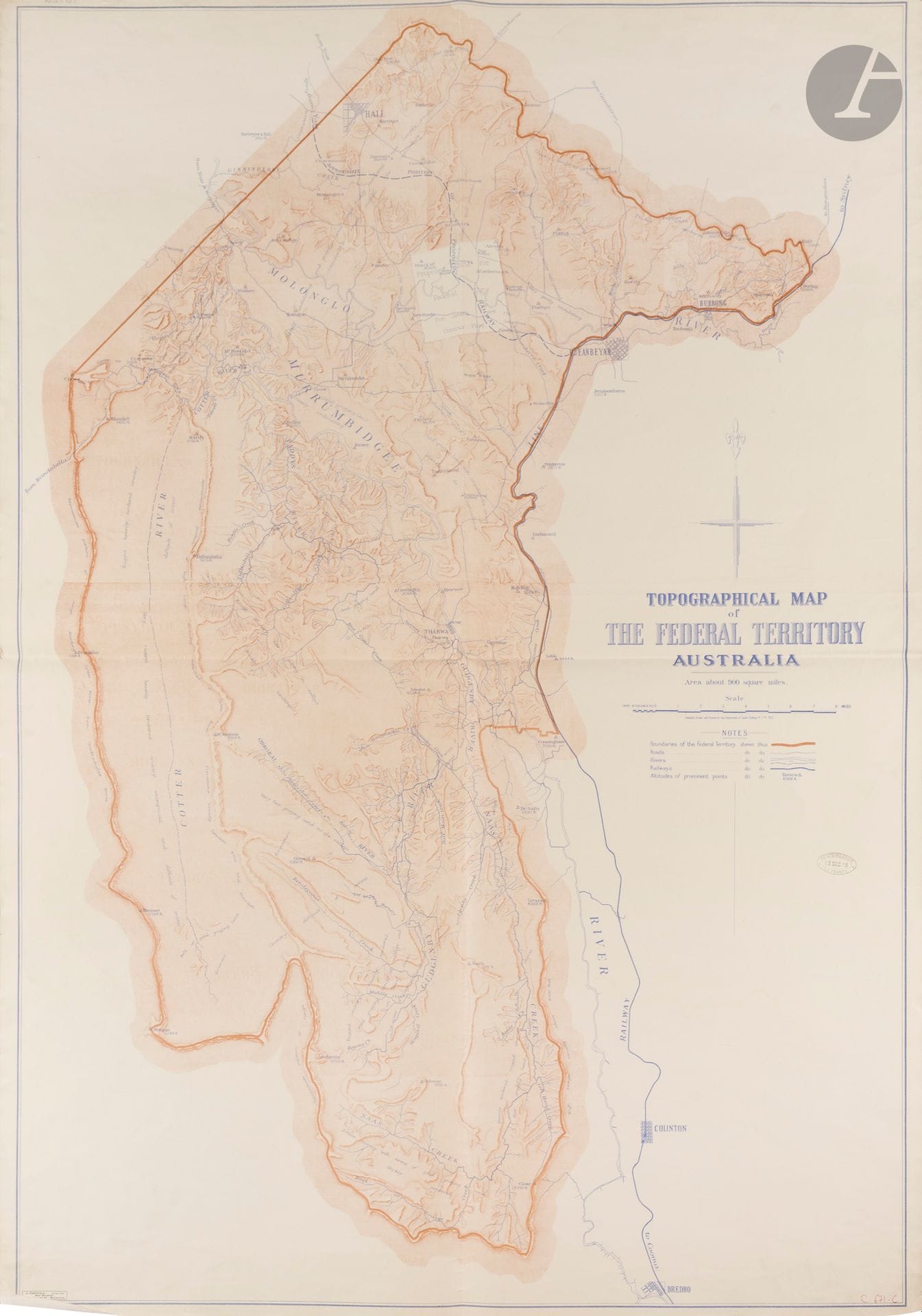
Department of Lands, Sydney. Topographical map of the Federal Territory, Australia. Sydney, Dept. of Lands, 1910. 1250 x 870 mm. Imprimé en couleurs. Large map printed in colors, mounted on linen and folded in four. This map, published by the Department of Lands of New South Wales in Sydney in 1910, depicts the Federal Territory, the area created to host the future federal capital of Australia, now the Australian Capital Territory, in the Canberra region. Produced at the time when the Commonwealth of Australia was preparing to establish its capital, it served as the official cartographic base for the urban planning competition launched to design the plan for the new federal capital. The competitors used this map to study the site's relief, waterways, and topography before submitting their development proposals.
Estimate
€200 - €300
Result
€189
Buyer's premium
30%
Department of Lands, Sydney. Topographical map of the Federal Territory, Australia. Sydney, Dept. of Lands, 1910. 1250 x 870 mm. Imprimé en couleurs. Large map printed in colors, mounted on linen and folded in four. This map, published by the Department of Lands of New South Wales in Sydney in 1910, depicts the Federal Territory, the area created to host the future federal capital of Australia, now the Australian Capital Territory, in the Canberra region.
Produced at the time when the Commonwealth of Australia was preparing to establish its capital, it served as the official cartographic base for the urban planning competition launched to design the plan for the new federal capital. The competitors used this map to study the site's relief, waterways, and topography before submitting their development proposals.
Sale
Tuesday 16 December 2025・14:30 (Europe/Paris)
Sale location coming soon
3, rue Favart
75002 Paris