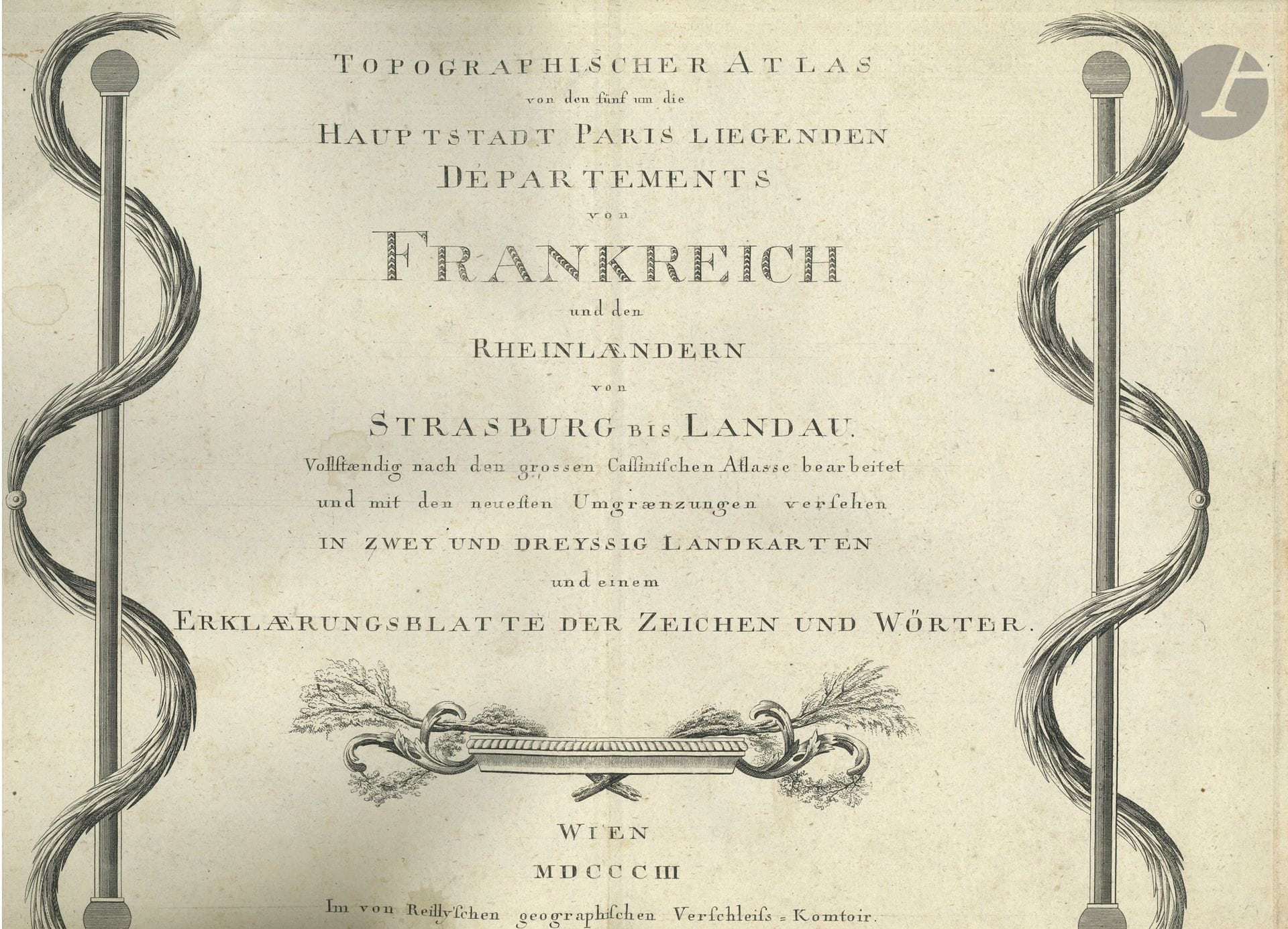
ATLAS. Franz Johann Joseph von REILLY. Topographischer Atlas von den fünf um die Hauptstadt Paris liegenden Départements von Frankreich und den Rheinlaendern von Strassburg bis Landau... (Wien, 1803, Im von Reilly'schen Geographischen Verschleiss-Komtoir); [2]-32 engraved plates (approx. 30.5 x 42.5 cm) mounted on tabs in one vol. in-fol., antique boards (a little worn). Ignaz Kühn-Christian Trummer.Wien, 1803. Topographical atlas of the five departments of France surrounding Paris and their districts (pl. 3-30, preceded by two maps: Das heutige Frankreich and Isle de France), and Der District Hagenau (31), Der District Weissenburg mit der Gegend um Landau (32). Includes 32 copper-engraved maps, partly colored, preceded by an engraved title and an engraved explanatory note (Erklærungsblatt...). Very good condition inside (minor marginal repairs to last plate).
Estimate
€500 - €700
Result
€400
Buyer's premium
30%
ATLAS. Franz Johann Joseph von REILLY. Topographischer Atlas von den fünf um die Hauptstadt Paris liegenden Départements von Frankreich und den Rheinlaendern von Strassburg bis Landau... (Wien, 1803, Im von Reilly'schen Geographischen Verschleiss-Komtoir); [2]-32 engraved plates (approx. 30.5 x 42.5 cm) mounted on tabs in one vol. in-fol., antique boards (a little worn).
Ignaz Kühn-Christian Trummer.Wien, 1803.
Topographical atlas of the five departments of France surrounding Paris and their districts (pl. 3-30, preceded by two maps: Das heutige Frankreich and Isle de France), and Der District Hagenau (31), Der District Weissenburg mit der Gegend um Landau (32). Includes 32 copper-engraved maps, partly colored, preceded by an engraved title and an engraved explanatory note (Erklærungsblatt...).
Very good condition inside (minor marginal repairs to last plate).
Sale
Wednesday 5 November 2025・14:00 (Europe/Paris)
Sale location coming soon
3, rue Favart
75002 Paris