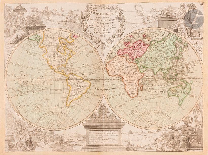
[ATLAS] - THE RED (Georges-Louis). New Portable Atlas for Military, College and Traveler Use . [Paris: Crépy, 1767-1773]. - In-4, 242 x 179: 48 tabbed cards. Marbled basane, decorated spine with nerves, red edges ( contemporary binding ). Composite atlas comprising 48 maps, most of them from the New Portable Atlas for Military, College and Traveller Use by Georges-Louis Le Rouge. This choice was made by an amateur at the time. The maps are dated from 1767 to 1773, they are all coloured and cover all regions of the world. The first ones represent the different systems according to the ancient astronomers (Copernicus, Ptolemy and Ticho-Brahe), the celestial globe in two hemispherical planes, the terrestrial and celestial globes, and a world map. There is also a map of Paris and its suburbs dated 1767 . Good copy despite some skin flakes and cracks in the hinges.
Estimate
€500 - €600
Result
€937
Buyer's premium
28%
[ATLAS] - THE RED (Georges-Louis).
New Portable Atlas for Military, College
and Traveler
Use
.
[Paris: Crépy, 1767-1773]. - In-4, 242 x 179: 48 tabbed cards. Marbled basane, decorated spine with nerves, red edges (
contemporary
binding
).
Composite atlas comprising 48 maps, most of them from the New Portable Atlas for Military, College and Traveller Use by Georges-Louis
Le Rouge.
This choice was made by an amateur at the time. The maps are dated from 1767 to 1773, they are all coloured and cover all regions of the world. The first ones represent the different systems according to the ancient astronomers (Copernicus, Ptolemy and Ticho-Brahe), the celestial globe in two hemispherical planes, the terrestrial and celestial globes, and a world map.
There is
also a map of Paris and its suburbs dated 1767
.
Good copy despite some skin flakes and cracks in the hinges.
Sale
Tuesday 3 March 2020・14:00 (Europe/Paris)
Sale location coming soon
3, rue Favart
75002 Paris